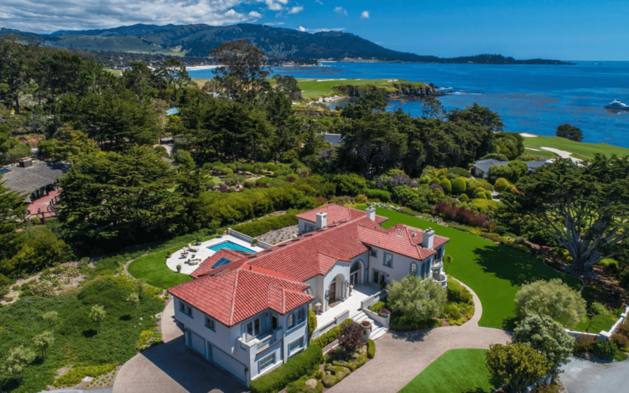
By Team Zech Properties
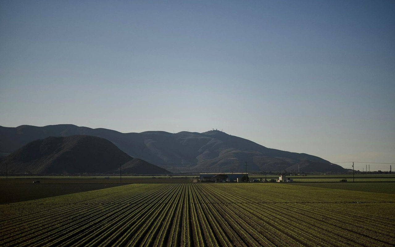
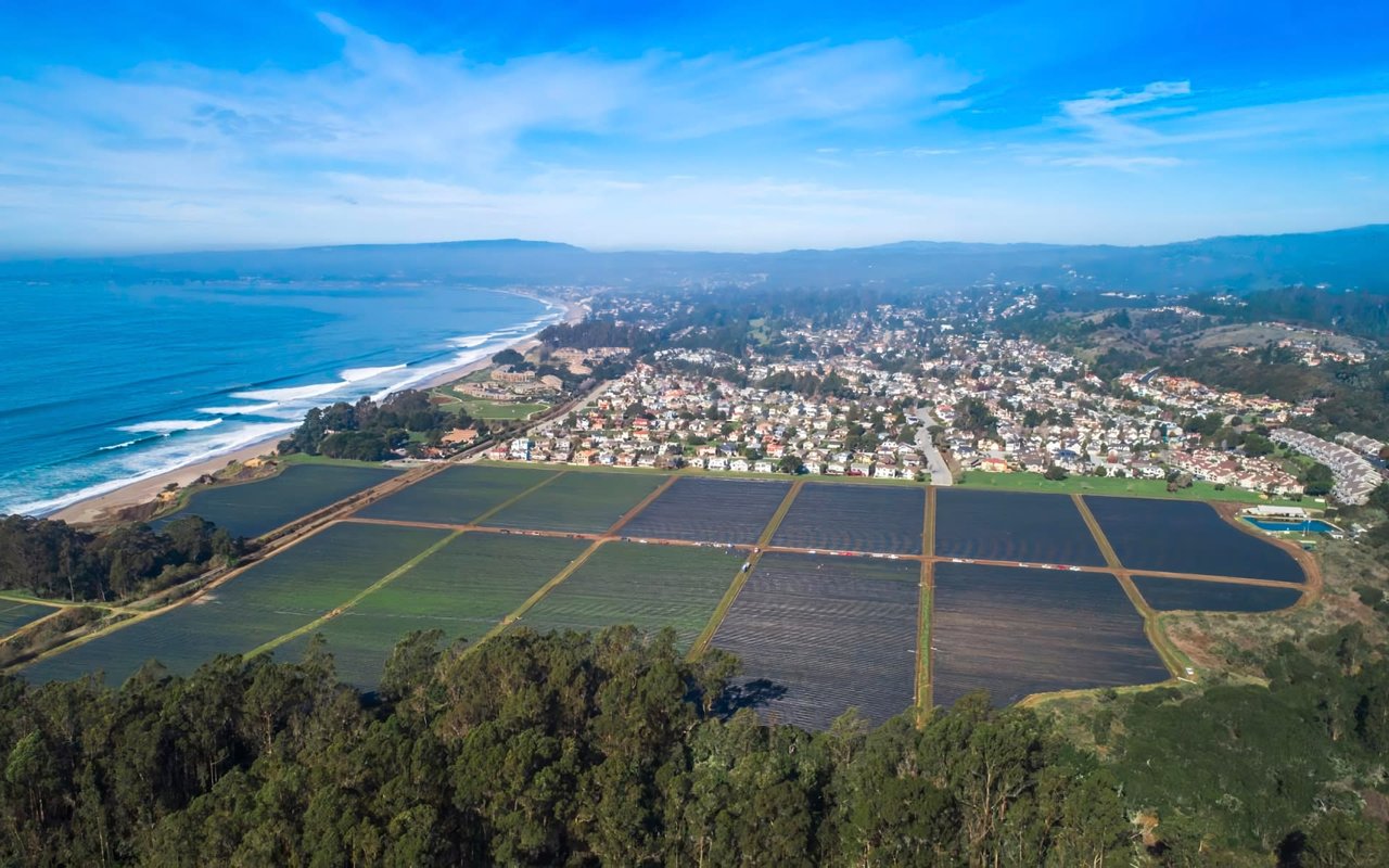
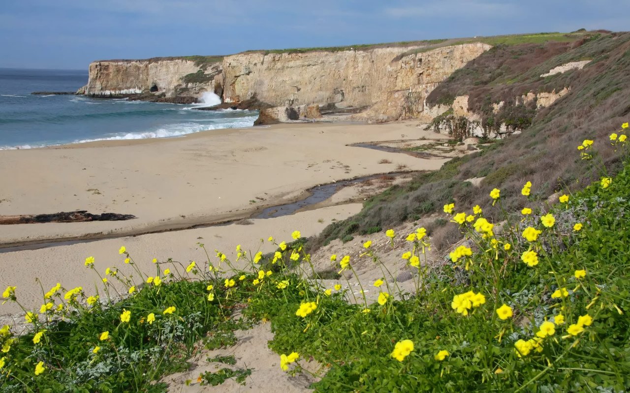
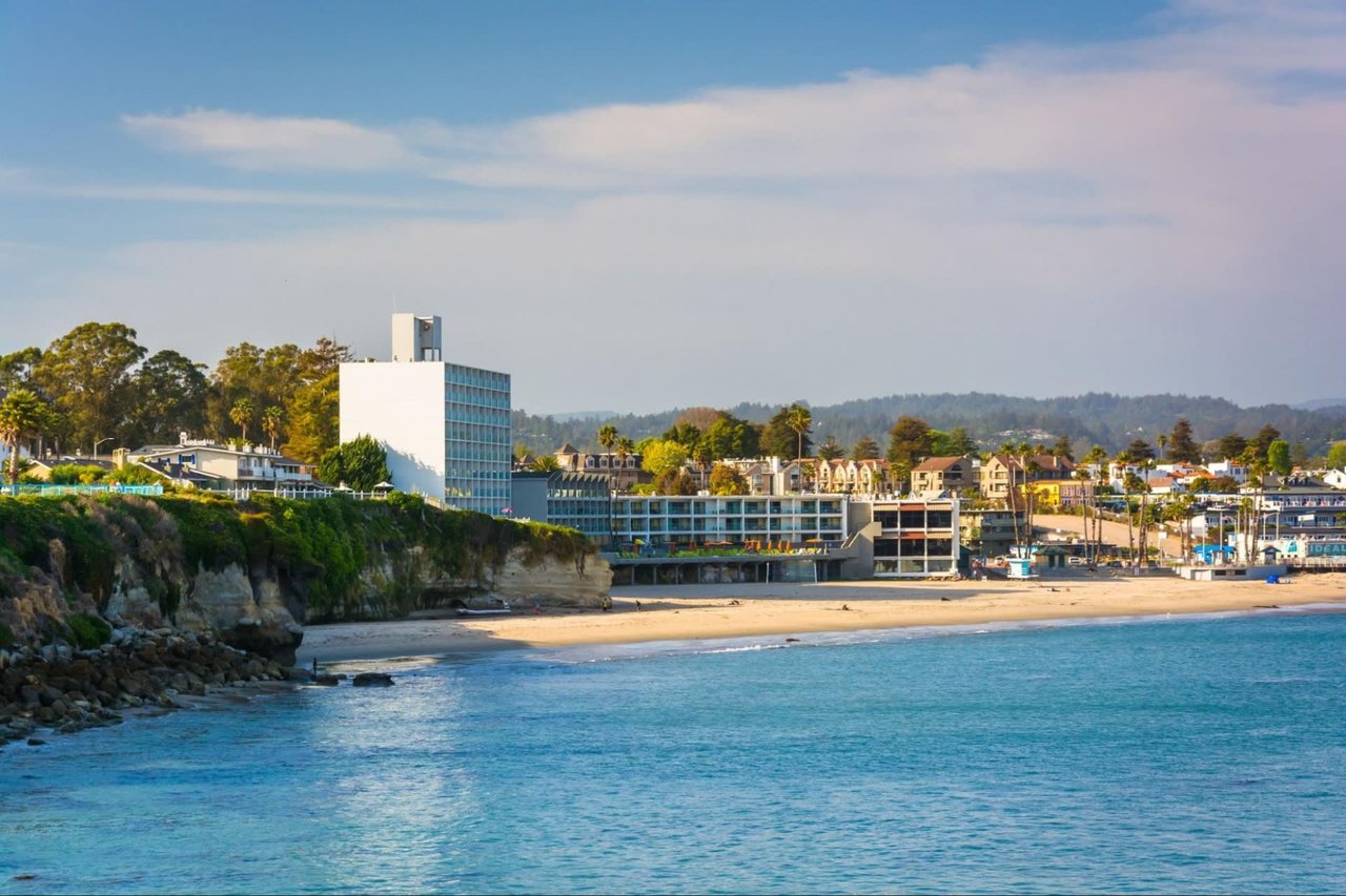
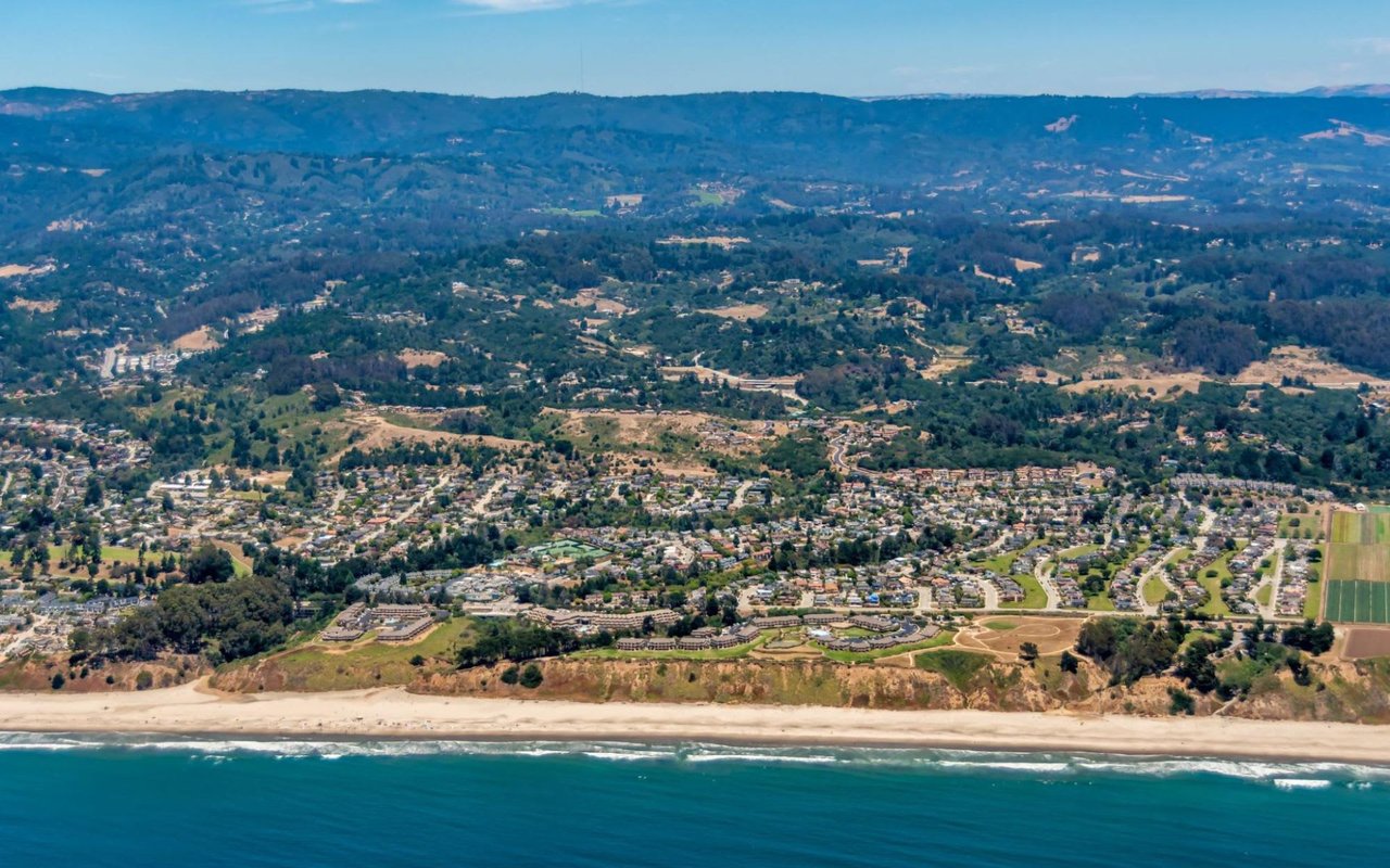
In Pajaro Valley, the patchwork of row-crop fields, berry ground, and coastal-influenced flats creates real differences in wind, morning fog patterns, and harvest timing. We also pay close attention to how parcels connect to the processing and distribution ecosystem anchored around Watsonville’s industrial pockets and the broader Monterey Bay logistics network.
If you’re exploring opportunities here, we’ll help you line up land use realities with the operational goals that make a property perform year after year.
Key Takeaways
- Road access: fast routes to Highway 1 and 129
- Water strategy: irrigation planning tied to local conditions
- Use flexibility: zoning pathways for modern ag operations
- Value drivers: location, layout, and long-term usability
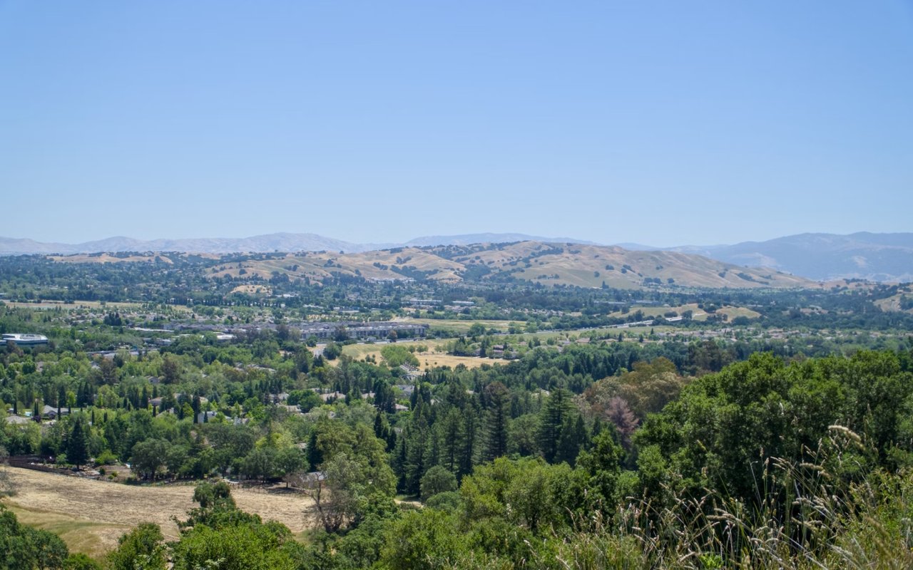
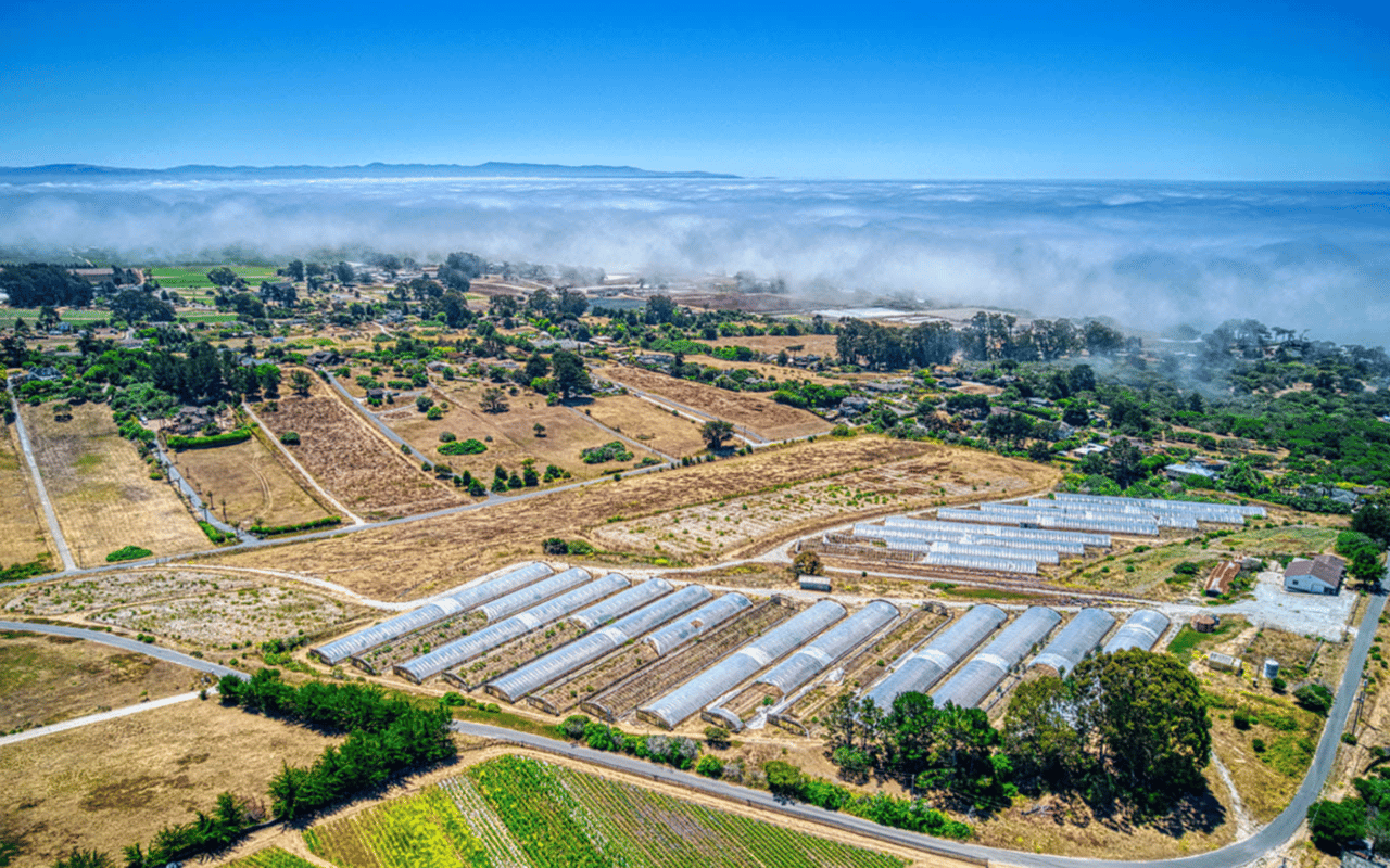
The Valley’s Core Production Corridors and Why They Matter
Pajaro Valley production often centers on the working corridors around San Andreas Road, Green Valley Road, and the farming grid that fans out from Watsonville toward the coast.
Why location along these routes can sharpen operations
- San Andreas Road corridor: strong farm-to-cooler functionality with straightforward access back toward Watsonville.
- Green Valley Road reach: an efficient connection for operations that span multiple blocks of productive ground.
- West Struve Slough Road area: a practical zone for contiguous layouts and day-to-day field logistics.
- Harkins Slough vicinity: a recognizable agricultural landscape where microclimate and field configuration shape planning.
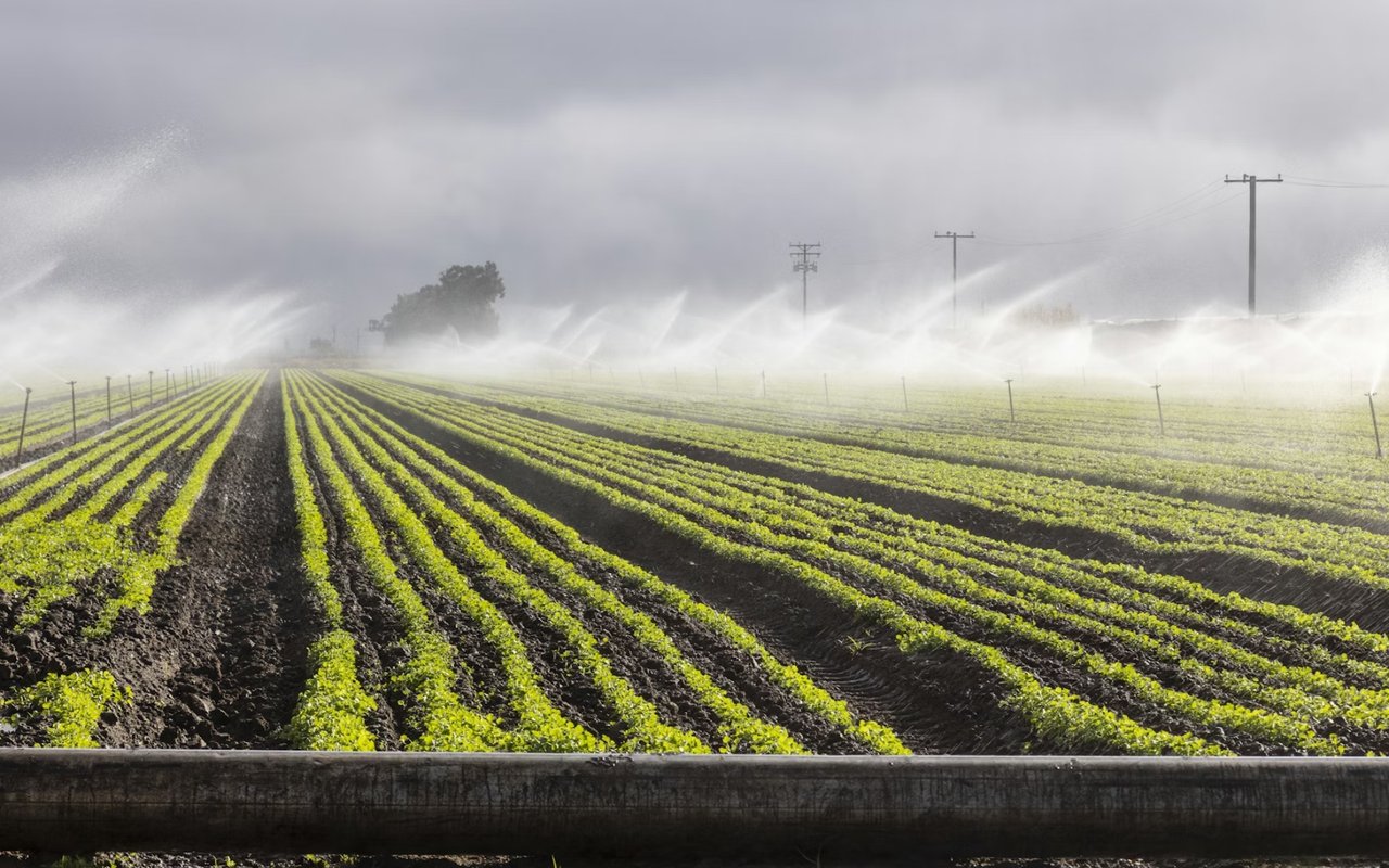
Water, Irrigation Planning, and the Local Systems to Know
Water strategy in the valley is a land-use conversation, because irrigation plans influence crop choices, infrastructure spending, and long-term stewardship.
What we review when evaluating a water-ready property
- On-site infrastructure: well and pump placement options that fit the parcel’s layout and access points.
- Distribution setup: mainlines, submains, and valve placement that support efficient blocks and rotations.
- Drainage and field shape: practical grading characteristics that affect how irrigation performs over time.
- Operational resilience: redundancy planning that supports peak season demands and equipment servicing.
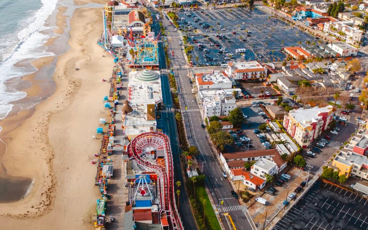
Processing, Cold Chain, and Logistics Around Watsonville and Monterey Bay
One reason land here draws serious operators is the proximity to processing, packing, and cold chain support in and around Watsonville.
Local logistics factors that can elevate a site
- Watsonville industrial access: proximity to service vendors, packing resources, and ag-support businesses.
- Highway 1 connectivity: a practical lane to coastal routes and regional distribution patterns.
- Highway 129 linkage: efficient movement toward inland corridors and wider networks across the Central Coast.
- Moss Landing proximity: a recognizable coastal waypoint that signals access to broader Monterey Bay activity.
Land Use Pathways for Modern Commercial Ag Operations
Land use rules shape what you can build, where you can stage equipment, and how you support year-round operations with structures that keep work organized.
Land use opportunities we frequently explore with clients
- Ag support structures: barns, implement storage, and covered staging that keep operations tidy and efficient.
- Farmgate retail concepts: small-scale direct-to-consumer ideas that fit local patterns near Watsonville and coastal traffic.
- Processing-adjacent uses: spaces that support cooling, sorting, and operational flow tied to regional infrastructure.
- Worker circulation planning: entry points, internal roads, and staging zones designed for daily movement.
FAQs
What kinds of parcels tend to support scalable ag operations in Pajaro Valley?
We typically focus on parcels with clean access, workable block shapes, and logical infrastructure placement that supports efficient field routines.
How do you evaluate land use flexibility for future improvements?
We start with zoning context and then outline realistic improvement pathways tied to how the parcel is accessed and used day to day.
What makes a location “prime” from a logistics standpoint?
We look at how quickly you can reach Highway 1 and Highway 129, then we map realistic drive patterns based on when the product moves and where it needs to go.
Contact Team Zech Properties Today
If you’re considering commercial agriculture Pajaro Valley opportunities, we’ll help you translate maps and listings into an on-the-ground plan that matches how you want to operate.
Reach out to us at Team Zech Properties, and we’ll build a short list of land options across Watsonville, Freedom, Corralitos, and the Pajaro corridor, with notes on access, layout, and improvement potential.
Reach out to us at Team Zech Properties, and we’ll build a short list of land options across Watsonville, Freedom, Corralitos, and the Pajaro corridor, with notes on access, layout, and improvement potential.